
A Graña topographic map
Interactive map
Click on the map to display elevation.
About this map
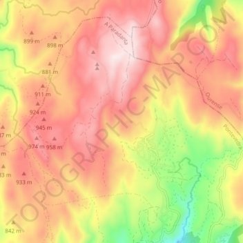
Name: A Graña topographic map, elevation, terrain.
Location: A Graña, Covelo, A Paradanta, Pontevedra, Galice, Espagne (42.30655 -8.36522 42.35424 -8.29011)
Average elevation: 841 m
Minimum elevation: 533 m
Maximum elevation: 1,048 m