
Myrtle topographic map
Interactive map
Click on the map to display elevation.
About this map
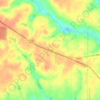
Name: Myrtle topographic map, elevation, terrain.
Location: Myrtle, Peach County, Georgia, USA (32.46737 -83.83546 32.50737 -83.79546)
Average elevation: 125 m
Minimum elevation: 96 m
Maximum elevation: 141 m