
سامراء topographic map
Interactive map
Click on the map to display elevation.
About this map
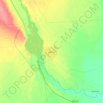
Name: سامراء topographic map, elevation, terrain.
Location: سامراء, Gobernación de Saladino, Irak (34.04000 43.74000 34.36000 44.06000)
Average elevation: 70 m
Minimum elevation: 44 m
Maximum elevation: 117 m