
Bisten topographic map
Interactive map
Click on the map to display elevation.
About this map
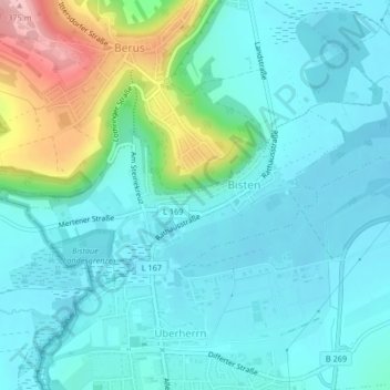
Name: Bisten topographic map, elevation, terrain.
Location: Bisten, Überherrn, Landkreis Saarlouis, Saarland, Deutschland (49.24828 6.68377 49.26015 6.71760)
Average elevation: 228 m
Minimum elevation: 191 m
Maximum elevation: 371 m