
Chilcoot-Vinton topographic map
Interactive map
Click on the map to display elevation.
About this map
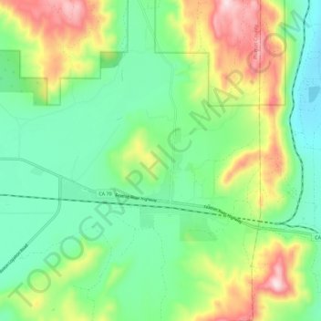
Name: Chilcoot-Vinton topographic map, elevation, terrain.
Average elevation: 1,600 m
Minimum elevation: 1,427 m
Maximum elevation: 1,943 m
Other topographic maps
Click on a map to view its topography, its elevation and its terrain.
Chilcoot
Vereinigte Staaten von Amerika > Kalifornien > Chilcoot
Chilcoot, Plumas County, Kalifornien, Vereinigte Staaten von Amerika
Average elevation: 1,566 m