
Thank you for supporting this site ❤️
Make a donation
Make a donation
Girkin topographic map
Click on the map to display elevation.
Thank you for supporting this site ❤️
Make a donation
Make a donation
About this map
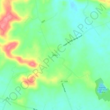
Name: Girkin topographic map, elevation, terrain.
Location: Girkin, Warren County, Kentucky, United States (37.04754 -86.37832 37.08754 -86.33832)
Average elevation: 181 m
Minimum elevation: 151 m
Maximum elevation: 241 m
Thank you for supporting this site ❤️
Make a donation
Make a donation
Other topographic maps
Click on a map to view its topography, its elevation and its terrain.