
Thank you for supporting this site ❤️
Make a donation
Make a donation
Muthiga topographic map
Click on the map to display elevation.
Thank you for supporting this site ❤️
Make a donation
Make a donation
About this map
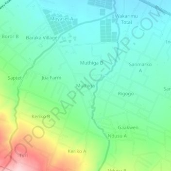
Name: Muthiga topographic map, elevation, terrain.
Location: Muthiga, Mosop ward, Rongai, Nakuru, Rift Valley, Kenya (-0.25667 35.83776 -0.21667 35.87776)
Average elevation: 1,978 m
Minimum elevation: 1,918 m
Maximum elevation: 2,131 m
Thank you for supporting this site ❤️
Make a donation
Make a donation