
Belloto topographic map
Interactive map
Click on the map to display elevation.
About this map
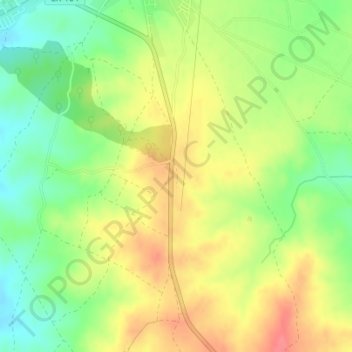
Name: Belloto topographic map, elevation, terrain.
Location: Belloto, Campanario, Badajoz, Extremadura, 06460, España (38.83544 -5.62243 38.85544 -5.60243)
Average elevation: 414 m
Minimum elevation: 380 m
Maximum elevation: 447 m