
Thank you for supporting this site ❤️
Make a donation
Make a donation
Piriari topographic map
Click on the map to display elevation.
Thank you for supporting this site ❤️
Make a donation
Make a donation
About this map
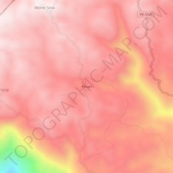
Name: Piriari topographic map, elevation, terrain.
Location: Piriari, Río Tambo, Satipo, Junín, Perú (-11.08991 -74.33836 -11.04991 -74.29836)
Average elevation: 1,299 m
Minimum elevation: 721 m
Maximum elevation: 1,456 m
Thank you for supporting this site ❤️
Make a donation
Make a donation