
South Royalston topographic map
Interactive map
Click on the map to display elevation.
About this map
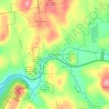
Name: South Royalston topographic map, elevation, terrain.
Average elevation: 287 m
Minimum elevation: 216 m
Maximum elevation: 367 m
Other topographic maps
Click on a map to view its topography, its elevation and its terrain.
Bliss Hill
United States > Massachusetts > Worcester County > Royalston
Bliss Hill, Royalston, Worcester County, Massachusetts, United States
Average elevation: 294 m