
Sugarloaf Mountain topographic map
Interactive map
Click on the map to display elevation.
About this map
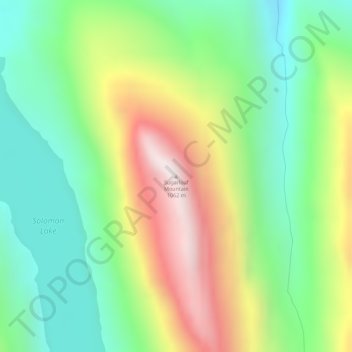
Name: Sugarloaf Mountain topographic map, elevation, terrain.
Location: Sugarloaf Mountain, Valdez, Chugach, Alaska, United States (61.06237 -146.26891 61.06247 -146.26881)
Average elevation: 460 m
Minimum elevation: 106 m
Maximum elevation: 1,047 m