
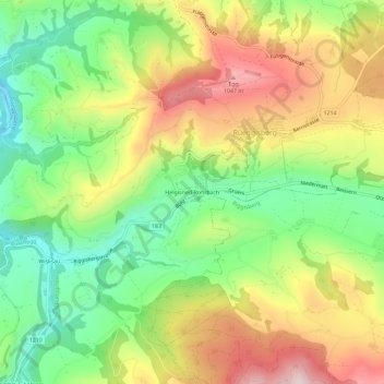
Helgisried-Rohrbach topographic map
Interactive map
Click on the map to display elevation.
About this map
Name: Helgisried-Rohrbach topographic map, elevation, terrain.
Average elevation: 860 m
Minimum elevation: 679 m
Maximum elevation: 1,083 m
Other topographic maps
Click on a map to view its topography, its elevation and its terrain.
Oberbütschel
Schweiz > Bern > Verwaltungskreis Bern-Mittelland > Rüeggisberg
Oberbütschel, Rüeggisberg, Verwaltungskreis Bern-Mittelland, Verwaltungsregion Bern-Mittelland, Bern, 3088, Schweiz
Average elevation: 878 m