
Buchenwald topographic map
Interactive map
Click on the map to display elevation.
About this map
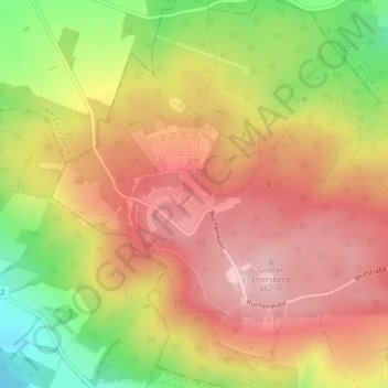
Name: Buchenwald topographic map, elevation, terrain.
Location: Buchenwald, Weimar, Thüringen, 99427, Deutschland (51.00959 11.24083 51.02959 11.26083)
Average elevation: 401 m
Minimum elevation: 284 m
Maximum elevation: 481 m