
Thank you for supporting this site ❤️
Make a donation
Make a donation
Eesergroen topographic map
Click on the map to display elevation.
Thank you for supporting this site ❤️
Make a donation
Make a donation
About this map
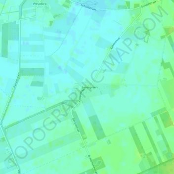
Name: Eesergroen topographic map, elevation, terrain.
Location: Eesergroen, Borger-Odoorn, Drenthe, Pays-Bas (52.87506 6.75605 52.90495 6.80310)
Average elevation: 16 m
Minimum elevation: 12 m
Maximum elevation: 24 m
Thank you for supporting this site ❤️
Make a donation
Make a donation
Other topographic maps
Click on a map to view its topography, its elevation and its terrain.