
Mohr topographic map
Interactive map
Click on the map to display elevation.
About this map
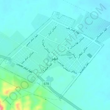
Name: Mohr topographic map, elevation, terrain.
Location: Mohr, بخش مرکزی, Mohr County, Fars Province, Iran (27.54146 52.86664 27.56294 52.89574)
Average elevation: 443 m
Minimum elevation: 424 m
Maximum elevation: 556 m