
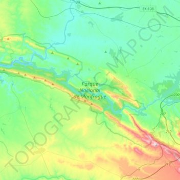
Parque Nacional de Monfragüe topographic map
Interactive map
Click on the map to display elevation.
About this map
Name: Parque Nacional de Monfragüe topographic map, elevation, terrain.
Average elevation: 351 m
Minimum elevation: 198 m
Maximum elevation: 823 m
Other topographic maps
Click on a map to view its topography, its elevation and its terrain.
Cazalla
España > Extremadura > Torrejón el Rubio
Cazalla, Torrejón el Rubio, Cáceres, Extremadura, España
Average elevation: 373 m