
Gray County topographic map
Interactive map
Click on the map to display elevation.
About this map
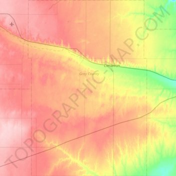
Name: Gray County topographic map, elevation, terrain.
Location: Gray County, Kansas, USA (37.47572 -100.66514 38.00096 -100.21645)
Average elevation: 837 m
Minimum elevation: 762 m
Maximum elevation: 897 m
Other topographic maps
Click on a map to view its topography, its elevation and its terrain.