
Thank you for supporting this site ❤️
Make a donation
Make a donation
Shiner topographic map
Click on the map to display elevation.
Thank you for supporting this site ❤️
Make a donation
Make a donation
About this map
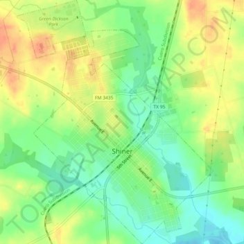
Name: Shiner topographic map, elevation, terrain.
Location: Shiner, Lavaca County, Texas, 77984, United States (29.41493 -97.19167 29.45435 -97.15491)
Average elevation: 113 m
Minimum elevation: 92 m
Maximum elevation: 134 m
Thank you for supporting this site ❤️
Make a donation
Make a donation