
Andal topographic map
Interactive map
Click on the map to display elevation.
About this map
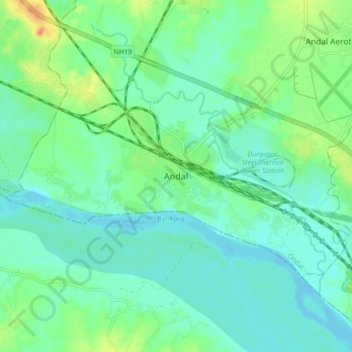
Name: Andal topographic map, elevation, terrain.
Location: Andal, Paschim Bardhaman, West Bengal, 713321, India (23.53430 87.14532 23.61430 87.22532)
Average elevation: 79 m
Minimum elevation: 66 m
Maximum elevation: 112 m