
Danta topographic map
Click on the map to display elevation.
About this map
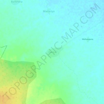
Name: Danta topographic map, elevation, terrain.
Location: Danta, Kanwas Tehsil, Kota District, Rajasthan, India (24.77371 76.15135 24.81371 76.19135)
Average elevation: 279 m
Minimum elevation: 271 m
Maximum elevation: 297 m