
Pipa topographic map
Interactive map
Click on the map to display elevation.
About this map
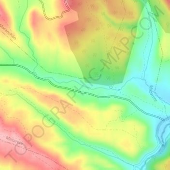
Name: Pipa topographic map, elevation, terrain.
Location: Pipa, Mazarete, Guadalajara, Castela-Mancha, Espanha (41.00374 -2.12400 41.00530 -2.11057)
Average elevation: 1,203 m
Minimum elevation: 1,135 m
Maximum elevation: 1,274 m