
Birds topographic map
Interactive map
Click on the map to display elevation.
About this map
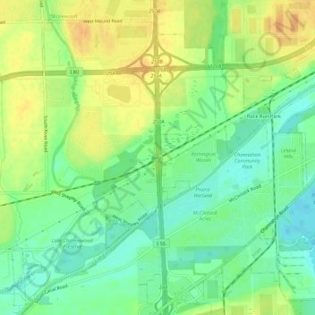
Name: Birds topographic map, elevation, terrain.
Location: Birds, Will County, Illinois, 60431, USA (41.45503 -88.21728 41.49503 -88.17728)
Average elevation: 169 m
Minimum elevation: 153 m
Maximum elevation: 185 m