
Tegal topographic map
Interactive map
Click on the map to display elevation.
About this map
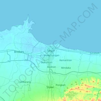
Name: Tegal topographic map, elevation, terrain.
Location: Tegal, Central Java, 52181, Indonesia (-7.02738 108.97788 -6.70738 109.29788)
Average elevation: 15 m
Minimum elevation: -2 m
Maximum elevation: 235 m