
Beverly topographic map
Interactive map
Click on the map to display elevation.
About this map
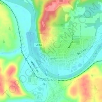
Name: Beverly topographic map, elevation, terrain.
Location: Beverly, Washington County, Ohio, United States (39.54270 -81.64673 39.55720 -81.62584)
Average elevation: 215 m
Minimum elevation: 183 m
Maximum elevation: 277 m