
Westvoorne topographic map
Interactive map
Click on the map to display elevation.
About this map
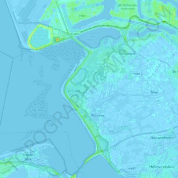
Name: Westvoorne topographic map, elevation, terrain.
Location: Westvoorne, Zuid-Holland, Nederland (51.84211 3.95558 51.93614 4.16035)
Average elevation: 1 m
Minimum elevation: -6 m
Maximum elevation: 28 m
Topografische gemeentekaart van Westvoorne, per december 2015.