
Arranhadouro topographic map
Interactive map
Click on the map to display elevation.
About this map
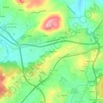
Name: Arranhadouro topographic map, elevation, terrain.
Location: Arranhadouro, Sequeira, Braga, 4705-629, Portugal (41.50866 -8.48793 41.54866 -8.44793)
Average elevation: 153 m
Minimum elevation: 72 m
Maximum elevation: 293 m