
Rosalejo topographic map
Interactive map
Click on the map to display elevation.
About this map
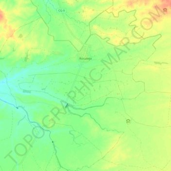
Name: Rosalejo topographic map, elevation, terrain.
Location: Rosalejo, Campo Arañuelo, Cáceres, Extremadura, España (39.94099 -5.50952 40.02015 -5.41102)
Average elevation: 278 m
Minimum elevation: 259 m
Maximum elevation: 299 m