
Thank you for supporting this site ❤️
Make a donation
Make a donation
Zeltweg topographic map
Click on the map to display elevation.
Thank you for supporting this site ❤️
Make a donation
Make a donation
About this map
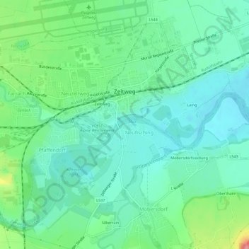
Name: Zeltweg topographic map, elevation, terrain.
Location: Zeltweg, Bezirk Murtal, Styria, 8740, Austria (47.17066 14.71491 47.20173 14.76977)
Average elevation: 668 m
Minimum elevation: 638 m
Maximum elevation: 752 m
Thank you for supporting this site ❤️
Make a donation
Make a donation