
Thank you for supporting this site ❤️
Make a donation
Make a donation
Arlington topographic map
Click on the map to display elevation.
Thank you for supporting this site ❤️
Make a donation
Make a donation
About this map
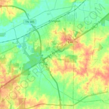
Name: Arlington topographic map, elevation, terrain.
Location: Arlington, Shelby County, Tennessee, United States (35.20627 -89.71480 35.31791 -89.63573)
Average elevation: 97 m
Minimum elevation: 73 m
Maximum elevation: 132 m
Thank you for supporting this site ❤️
Make a donation
Make a donation