
Pangi topographic map
Interactive map
Click on the map to display elevation.
About this map
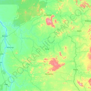
Name: Pangi topographic map, elevation, terrain.
Location: Pangi, Maniema, DR Congo (-3.88167 25.94620 -2.33982 27.14074)
Average elevation: 586 m
Minimum elevation: 443 m
Maximum elevation: 1,309 m