
Vella topographic map
Interactive map
Click on the map to display elevation.
About this map
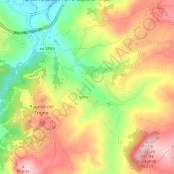
Name: Vella topographic map, elevation, terrain.
Location: Vella, Bagnoli del Trigno, IS, Molise, 86026, Italy (41.68338 14.45900 41.73624 14.48864)
Average elevation: 538 m
Minimum elevation: 317 m
Maximum elevation: 775 m