
Villars-le-Comte topographic map
Interactive map
Click on the map to display elevation.
About this map
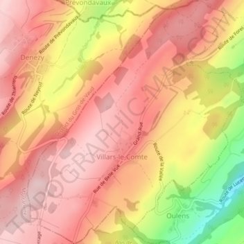
Name: Villars-le-Comte topographic map, elevation, terrain.
Location: Villars-le-Comte, District de la Broye-Vully, Vaud, Svizzera (46.70101 6.78367 46.72789 6.81891)
Average elevation: 728 m
Minimum elevation: 562 m
Maximum elevation: 806 m