
C 85 topographic map
Interactive map
Click on the map to display elevation.
About this map
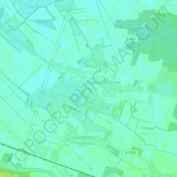
Name: C 85 topographic map, elevation, terrain.
Location: C 85, Kolkwitz, Spree-Neiße, Brandemburgo, Alemania (51.78015 14.19589 51.78025 14.19599)
Average elevation: 60 m
Minimum elevation: 55 m
Maximum elevation: 70 m
Other topographic maps
Click on a map to view its topography, its elevation and its terrain.
D 25
Alemania > Brandemburgo > Kolkwitz
D 25, Kolkwitz, Spree-Neiße, Brandemburgo, 03099, Alemania
Average elevation: 68 m