
Ghomrassen topographic map
Interactive map
Click on the map to display elevation.
About this map
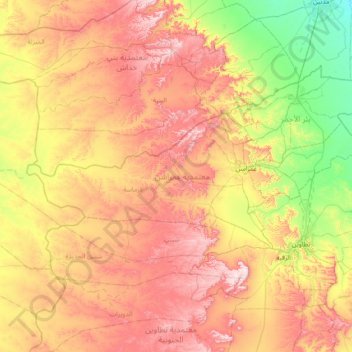
Name: Ghomrassen topographic map, elevation, terrain.
Location: Ghomrassen, Tataouine, Tunisie (32.92312 9.89355 33.16940 10.60732)
Average elevation: 345 m
Minimum elevation: 86 m
Maximum elevation: 646 m
Other topographic maps
Click on a map to view its topography, its elevation and its terrain.