
`Anadan topographic map
Interactive map
Click on the map to display elevation.
About this map
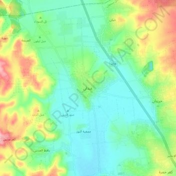
Name: `Anadan topographic map, elevation, terrain.
Location: `Anadan, منطقة جبل سمعان, Gouvernorat d'Alep, Syrie (36.25357 37.00472 36.33357 37.08472)
Average elevation: 418 m
Minimum elevation: 376 m
Maximum elevation: 505 m