
Churfirsten topographic map
Interactive map
Click on the map to display elevation.
About this map
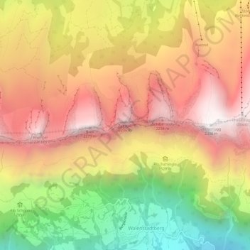
Name: Churfirsten topographic map, elevation, terrain.
Average elevation: 1,558 m
Minimum elevation: 613 m
Maximum elevation: 2,306 m
Other topographic maps
Click on a map to view its topography, its elevation and its terrain.
Selun
Schweiz > Sankt Gallen > Walenstadt
Selun, Walenstadt, Wahlkreis Sarganserland, Sankt Gallen, 8881, Schweiz
Average elevation: 1,695 m