
Mooreland topographic map
Interactive map
Click on the map to display elevation.
About this map
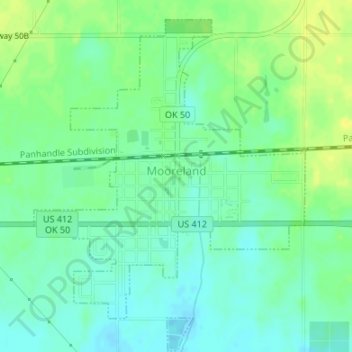
Name: Mooreland topographic map, elevation, terrain.
Location: Mooreland, Woodward County, Oklahoma, 73852, United States (36.42695 -99.21668 36.45055 -99.19266)
Average elevation: 580 m
Minimum elevation: 571 m
Maximum elevation: 591 m