
Thank you for supporting this site ❤️
Make a donation
Make a donation
Albert Lea topographic map
Click on the map to display elevation.
Thank you for supporting this site ❤️
Make a donation
Make a donation
About this map
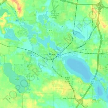
Name: Albert Lea topographic map, elevation, terrain.
Location: Albert Lea, Freeborn County, Minnesota, 56007, United States (43.60801 -93.40827 43.68801 -93.32827)
Average elevation: 380 m
Minimum elevation: 365 m
Maximum elevation: 411 m
Thank you for supporting this site ❤️
Make a donation
Make a donation