
Forna topographic map
Interactive map
Click on the map to display elevation.
About this map
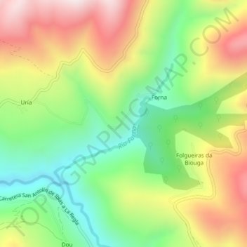
Name: Forna topographic map, elevation, terrain.
Location: Forna, Ibias, Asturias, España (43.06916 -6.84821 43.08214 -6.83062)
Average elevation: 570 m
Minimum elevation: 276 m
Maximum elevation: 938 m