
Río Ruecas topographic map
Interactive map
Click on the map to display elevation.
About this map
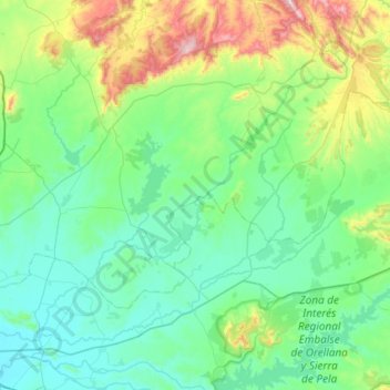
Name: Río Ruecas topographic map, elevation, terrain.
Average elevation: 421 m
Minimum elevation: 245 m
Maximum elevation: 1,184 m
Other topographic maps
Click on a map to view its topography, its elevation and its terrain.
Navalvillar de Pela
España > Extremadura > Navalvillar de Pela
Navalvillar de Pela, Badajoz, Extremadura, 06731, España
Average elevation: 347 m