
Thathri topographic map
Interactive map
Click on the map to display elevation.
About this map
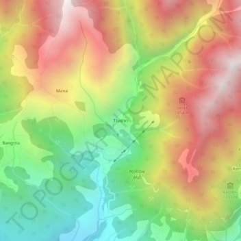
Name: Thathri topographic map, elevation, terrain.
Location: Thathri, Kangra, Himachal Pradesh, 176216, India (32.21607 76.34550 32.25607 76.38550)
Average elevation: 2,042 m
Minimum elevation: 1,313 m
Maximum elevation: 2,811 m