
Lac à Marceline topographic map
Interactive map
Click on the map to display elevation.
About this map
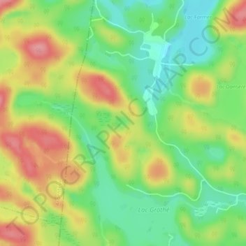
Name: Lac à Marceline topographic map, elevation, terrain.
Average elevation: 326 m
Minimum elevation: 279 m
Maximum elevation: 382 m
Other topographic maps
Click on a map to view its topography, its elevation and its terrain.
Petit lac Noir
Canada > Québec > Wentworth-Nord
Petit lac Noir, Wentworth-Nord, Les Pays-d'en-Haut, Laurentides, Québec, Canada
Average elevation: 327 m
Lac Pelletier
Canada > Québec > Wentworth-Nord > Montfort
Lac Pelletier, Montfort, Wentworth-Nord, Les Pays-d'en-Haut, Laurentides, Québec, Canada
Average elevation: 437 m