
Sprang-Capelle topographic map
Interactive map
Click on the map to display elevation.
About this map
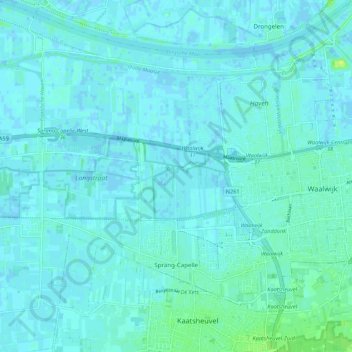
Name: Sprang-Capelle topographic map, elevation, terrain.
Location: Sprang-Capelle, Waalwijk, Nordbrabant, Niederlande (51.65378 4.96440 51.72110 5.06101)
Average elevation: 3 m
Minimum elevation: -4 m
Maximum elevation: 16 m