
Thirunellai topographic map
Interactive map
Click on the map to display elevation.
About this map
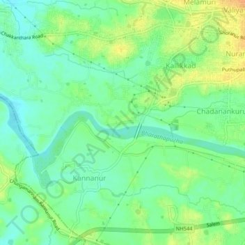
Name: Thirunellai topographic map, elevation, terrain.
Location: Thirunellai, Pālghāt, Palghat, Kerala, 678004, India (10.73536 76.60421 10.77536 76.64421)
Average elevation: 82 m
Minimum elevation: 68 m
Maximum elevation: 101 m