
Uvito topographic map
Interactive map
Click on the map to display elevation.
About this map
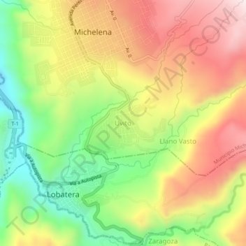
Name: Uvito topographic map, elevation, terrain.
Location: Uvito, Municipio Michelena, Táchira, Venezuela (7.92165 -72.25800 7.96165 -72.21800)
Average elevation: 1,148 m
Minimum elevation: 856 m
Maximum elevation: 1,443 m