
Toccoa Falls topographic map
Interactive map
Click on the map to display elevation.
About this map
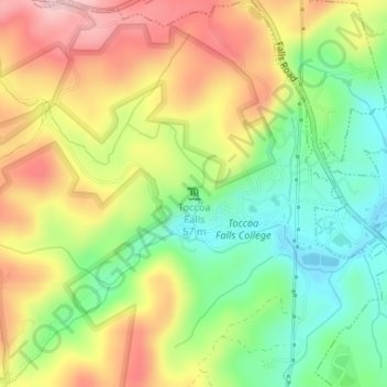
Name: Toccoa Falls topographic map, elevation, terrain.
Average elevation: 335 m
Minimum elevation: 246 m
Maximum elevation: 435 m
Other topographic maps
Click on a map to view its topography, its elevation and its terrain.
Currahee Mountain
États-Unis d'Amérique > Géorgie > Stephens County
Currahee Mountain, Stephens County, Géorgie, États-Unis d'Amérique
Average elevation: 303 m