
San Agustín topographic map
Interactive map
Click on the map to display elevation.
About this map
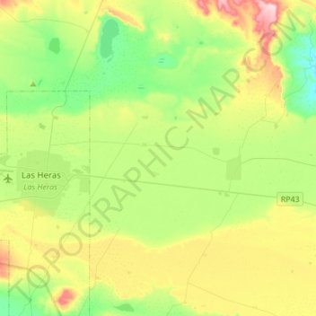
Name: San Agustín topographic map, elevation, terrain.
Location: San Agustín, Deseado, SC, Argentina (-46.62594 -68.89553 -46.43635 -68.76470)
Average elevation: 343 m
Minimum elevation: 240 m
Maximum elevation: 535 m
Other topographic maps
Click on a map to view its topography, its elevation and its terrain.
Río Gallegos
Argentina > SC > Río Gallegos
Río Gallegos, Güer Aike, SC, Argentina
Average elevation: 9 m