
Thank you for supporting this site ❤️
Make a donation
Make a donation
Goregaon topographic map
Click on the map to display elevation.
Thank you for supporting this site ❤️
Make a donation
Make a donation
About this map
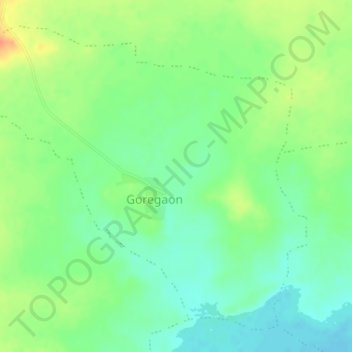
Name: Goregaon topographic map, elevation, terrain.
Location: Goregaon, Warud, Amravati, Maharashtra, India (21.40984 78.14854 21.43621 78.18094)
Average elevation: 391 m
Minimum elevation: 373 m
Maximum elevation: 417 m
Thank you for supporting this site ❤️
Make a donation
Make a donation