
Rampura topographic map
Interactive map
Click on the map to display elevation.
About this map
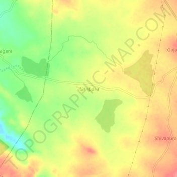
Name: Rampura topographic map, elevation, terrain.
Location: Rampura, Yadagiri taluku, Yadagiri district, Karnataka, India (16.86773 77.24367 16.90773 77.28367)
Average elevation: 548 m
Minimum elevation: 506 m
Maximum elevation: 579 m