
Thank you for supporting this site ❤️
Make a donation
Make a donation
Onota Township topographic map
Click on the map to display elevation.
Thank you for supporting this site ❤️
Make a donation
Make a donation
About this map
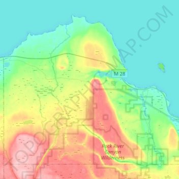
Name: Onota Township topographic map, elevation, terrain.
Location: Onota Township, Alger County, Michigan, 49822, United States (46.39097 -87.11652 46.53516 -86.86598)
Average elevation: 228 m
Minimum elevation: 175 m
Maximum elevation: 342 m
Thank you for supporting this site ❤️
Make a donation
Make a donation